 |
| Menu from a restaurant between Lulang to Draksum-tso |
Dishes we had in Tibet were hearty and filling. The most affordable ones on the menu were either dishes with rice or noodles. We tried to keep our lunch and dinner budget to CNY 100 for 2 people a day. I split them into rice, noodles, soup, dumplings, snacks and others as the food were more of less the same in across the restaurants so we ordered different dishes to get some variety.
Seafood is not eaten in Tibet, and we didn't see anymore chicken dishes in Tibetan restaurants after the Lulang Chicken Stone Pot.
Rice
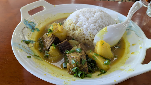
This one is rather popular - potato curry rice bowl.
This is another version of potato and curry rice but we didn't expect this one to be soupy when ordered.
We did a takeaway dinner from one of the shops nearby in Lhasa and had it back in the hotel.
We also had a few different variations of egg fried rice including one that we carried around after getting a takeaway and decided to wait for sunset in Zanda. By the time we got back to the hotel, we forgot to take a picture.
According to the guide, ginger could either prevent altitude sickness or alleviate the symptoms.
 |
| Featuring lemon ginger tea |
This one below was described as land of snow fried rice on the menu. Not sure why but quite tasty.
Most of the dishes with rice were rather generous with gravy. So we were very happy to see plain white rice on the side, not covered under the dishes and not laden with gravy.
This Nepali curry rice was offered in a Tibetan restaurant that we went during lunch. By then we already pretty much tried the dishes on offered as this was at day 15 in Tibet.
Once we thought ordering just the dish without rice might be a smaller portion as you can see the portion were big. We were wrong. A stir fry dish order just means a whole plate of the dish without rice.
Noodles
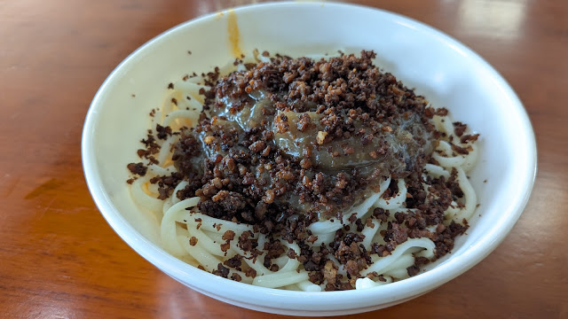
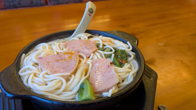
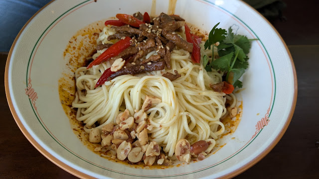
Here are the variations of noodles we had.
Dumplings
The 'skin' or the 'wrapper' for the ones below were more bao bread like. They usually sold it in ten but we bumped into the guide and driver having dinner at the same shop and helped us ordered. We only wanted five because we already had the diced meat soup (picture further below) to share. We only ordered one item because we felt the shop was a little pricey.
 |
| Bao like 'wrapper' |
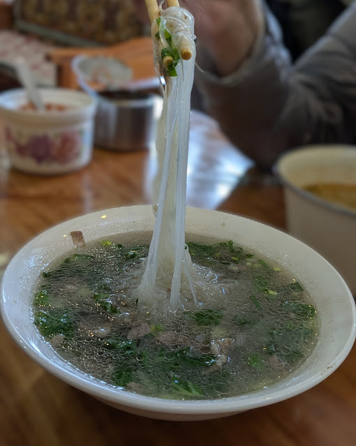
This diced meat soup was probably more like a stew as it is not like a broth type of soup. It was eaten with the bread.
 |
| Diced meat soup |
 |
| Tomato egg soup |
 |
| Seaweed egg soup |
 |
| Vegetable soup |
 |
| Meat radish soup |
Snacks
We had these as part of our main meals, just that the portion looked more like a snack portion.
These sweet potato cakes were ordered alongside with a big bowl of dumpling soup.
 |
| Sweet potato cake |
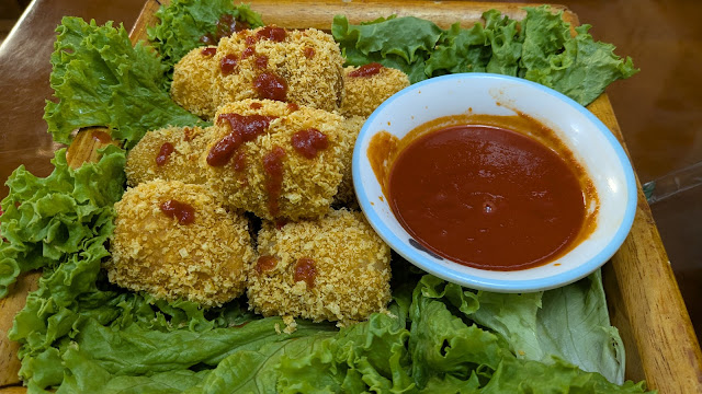
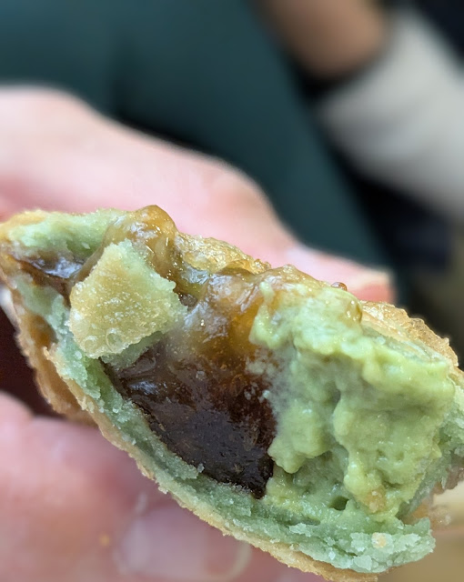
The next three were from McDonalds. We shared a chicken wrap with bamboo shoots, mala chicken stripes and matcha molasses mochi pie.
The next three here were also our dinner - hot and sour noodle soup, liang fen bing (mung bean jelly noodles on bread), fried potatoes with chilli powder.
The fried flat bread with meat filling we had that morning in Saga were so good that we wanted it for lunch again. But that one we had in Saga was the best we had.
Fried chicken stripes for dinner. Haha. When we had random snacks for dinner, it was because we had a very full lunch.
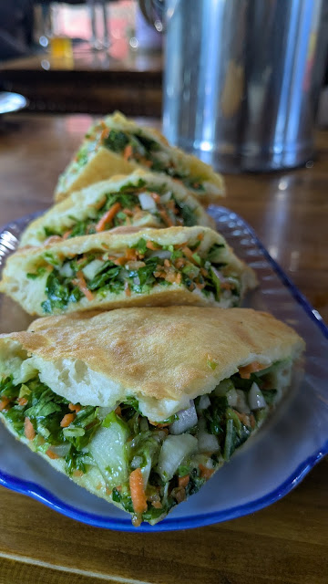
The food on offered in this shop were slightly different from the usual, which included this vegetables bread. This was tasty although a little heavy on the salt. This was one part of the lunch, we also order vegetables soup.
Others
Chicken stone pot is a specialty of Lulang, so was the only time we saw chicken on the menu in a Tibetan restaurant. We did have fried chicken stripes for snack though. I think this pot, said to be 2 people's portion had a whole chicken in it. We were stuffed.
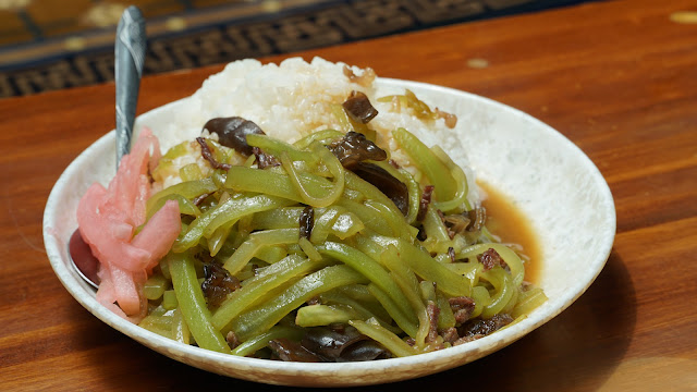
These two were part of our last dinner in Tibet in Shigatse - those were green chillies, and the other one were potatoes with meat and deep fried. Both were delicious though it resulted in me running for the toilet way too many times starting from 3 AM. Sis were ok even though we ate shared the food. So it was probably something my stomach disagreed with. I skipped eating the following day as food gave me nausea. Luckily all was well again the day after.
Side note: I do miss the Tibetan breakfast we had










.jpeg)

